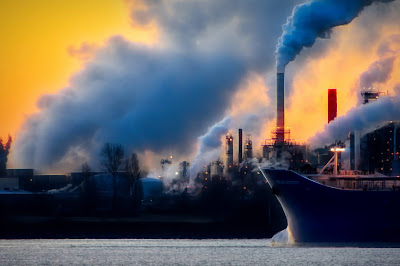
A Capital Ship for an Oily... er... Ocean Trip...

So, it is probably inevitable that a pipeline will be built from Alberta's oil sands to the BC coast to carry liquified bitumen from Alberta's frozen north to Asia's sunny shores...
Let's just take a tour of this project on the last part of its route through BC, especially if the present players build the line...
Place: British Columbia, Canada, circa 2020...
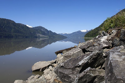
We begin somewhere west of Hazelton, BC, along the banks of the Skeena River.
Note that the pesky odour of fish is no longer there to drive tourists away. Instead, we now have the pleasant fragrance of diesel on warm summer's days, the gorgeous rainbow colours spread across the surface of this mighty river, the occasional dead eagle floating past....
Should you continue past Terrace toward Prince Rupert, you will notice the increasingly strong diesel smell (the smell of money), and may notice more and more wildlife at the shore... decomposing... much easier to photograph...
But, rather than going to Prince Rupert, take a left turn back at the Thornhill intersection and head toward Kitimat, where the pipeline empties into the facility that will load it onto ships bound for Asia. Isn't this exciting??
At the head of the Douglas Channel, seagulls no longer create so much noise... in fact, where are the seagulls? Come to think of it, where are the seals, terns, sea lions, ducks, herons... look down into the water... where are the herring? Come to think of it, how come you can't see down into the water? Oh, well...
Let's continue the tour aboard one of these fancy "new" supertankers up the channel toward the open Pacific Ocean. Note the pristine shoreline and wide open waters of the channel... say... what's that up ahead? What's that island doing there? Enbridge's famous video (2020: now removed) says there aren't any islands, so it must be true, right?
Whoa... then why is that island right there? Their video shows a TANKER right there... imagine what would happen if a tanker WAS there...
But really, what is one island in this wide open Douglas Channel... Say, the map on the Sierra Club's page (2020: now mysteriously removed) couldn't really be more accurate, could it? I mean... after all... those guys are extremists... right?
But look over there... ANOTHER island... this is beginning to look like the charts published in this pesky rag might be the real charts, after all!!
Ok, ok... so the video posted on Vimeo with the disclaimer, *This is not an Enbridge video, is a bit more accurate depiction of the route so far... But hey... that's just an inconvenient truth, right Mr. Gore? Once we get out of this rotten, narrow, island choked, vertical sloped (wow! just LOOK at the HEIGHT of those mountains!!) channel, we'll hit the open sea and...
Oops. Why are we turning so hard to port, suddenly? Who put that mountain range, there? Why, we're OUT of the Douglas Channel, aren't we? What do you mean, Inside Passage. Isn't that where BC Ferries lost a ship???
But that was human error, right? It couldn't happen with one of these modern supertankers, could it? I mean, they use tugs...
Can you hear some distant singing? Something about a rich man's world?...

No comments:
Post a Comment
Thanks for the comment. Please share with your friends!